Map
Hyper-local teaching pins for West Michigan. Pins may be fuzzed and many locations are observe-only.
Permissions first
A map pin is not permission to harvest. Check land ownership, park rules, and season. Prefer guided walks when learning.
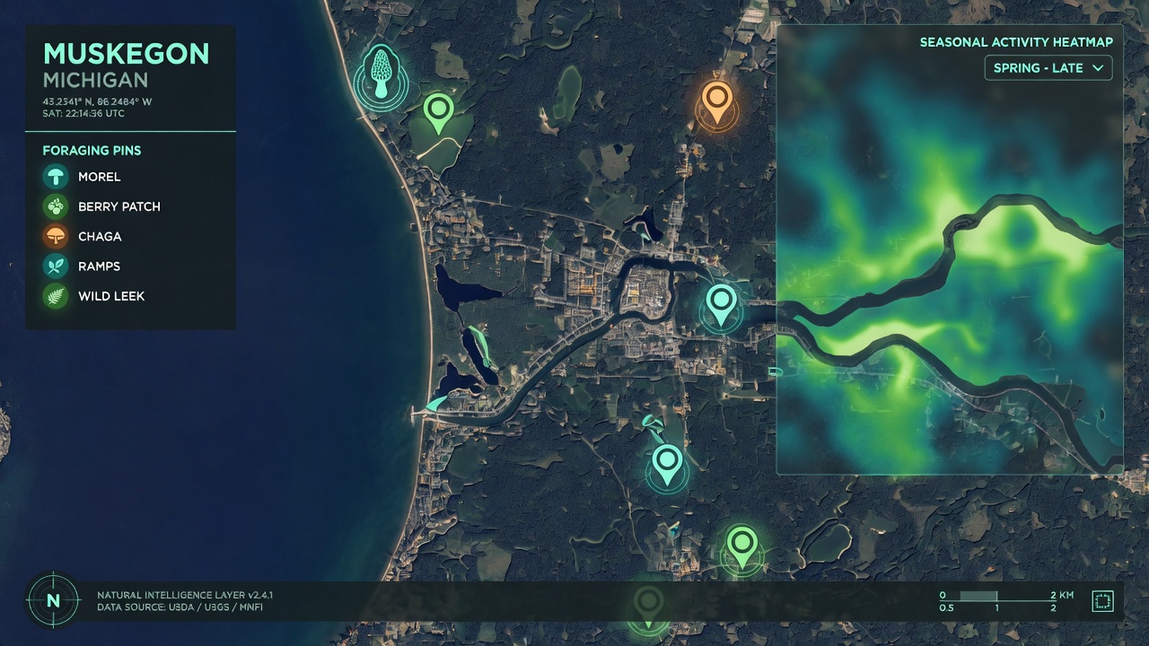
Loading map…
Spot list
Submit a spot- easyrestrictedCurated
Muskegon Lake shoreline study area (observe only)
Teaching pin for shoreline habitats and invasive ID walks. Collecting is often prohibited — confirm park rules.
Public recreation area — photography and learning; do not harvest without explicit permission. - moderaterestrictedCurated
Muskegon State Park woods edge (observe only)
Forest-edge habitat for spring ephemeral education. State park rules typically restrict collecting.
State park — check Michigan DNR regulations. - easyprivate permissionCurated
Community garden / disturbed-edge classroom (example)
Template pin for garlic mustard and dandelion education on lands with permission.
Only with landowner or program permission.